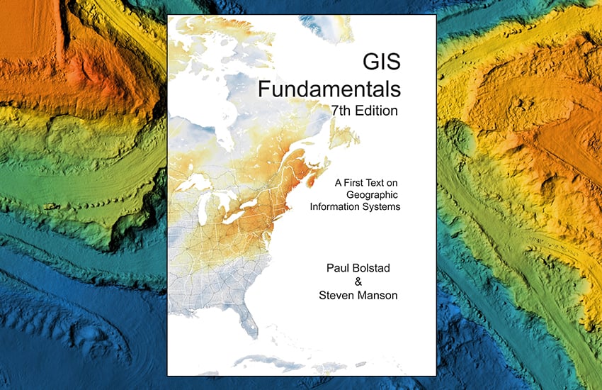
<img height="1" width="1" style="display:none" src="https://www.facebook.com/tr?id=705720326802501&amp;ev=PageView&amp;noscript=1">
Skip to content
Hero Graphic

Course Features

  • Developed by the best-selling GIS Fundamentals (7th Ed.) textbook authors, Paul Bolstad and Steven Manson.
  • Thoroughly up-to-date, including new material on modeling, datums, global navigation, remote sensing, and databases
  • Lessons are built around the way students learn today – video first, reinforced by content and assessment.
  • 15 lessons with curated and sequenced activities.
  • ​Extensive integration of video paired with ample practice activities makes the course material more accessible to students.
  • Students can take notes and message classmates right in the application.
  • Web-based and accessible through our iPad app.
  • Professor grade book and student engagement reports.
  • Student notifications about upcoming quizzes.
  • All-in-one design means no pop-ups, plug-ins, installing components or extra windows.
  • Instructor resources are incorporated into the instructors course - no need for CD’s, DVD’s or downloads.

Course Details

Content Suitability

Suitable for:
First-year GIS classes. The course balances theoretical and practical material so that students learn the basics and then can apply GIS to real-world problems.

Great for:
In-person, online or blended learning.

xanedu-flexed-student-online-computer-with-headphones

Customization

XanEdu FlexEd knows that the way you teach is unique. That’s why we allow you to take what we’ve built and use it as-is, or modified to fit your syllabus.

Our simple editing process allows you to rearrange, add or remove content, embed videos, links or change quiz questions to better match your course.

Need to collaborate with other instructors? With XanEdu FlexEd you can share your content with colleagues. Life just got a lot easier.

img-shelby-county-school-teacher

Adoption and Onboarding

Accessible: Available on the Web, with the iPad app, or as a direct link from your LMS. No downloads, plug-ins or pop-ups necessary.

Onboarding Support: Training videos and access to actual human beings will help you get your course launched smoothly.

Easy to Purchase: Students simply register and buy, and we can work with your bookstore as needed.

college-student-in-library-with-computer

Meet the Subject Matter Experts

Paul Bolstad
Steven Manson
The University of Minnesota

GIS Fundamentals has been used at hundreds of institutions by more than 200,000 students on four continents.

In 2002, Paul Bolstad set about writing a comprehensive, accessible, and reasonably-priced textbook for his students. He was motivated by the too-high price and incomplete coverage of GIS books then on the market. He discovered that a self-published, gray-scale paperback would be one-third the cost of a typical textbook, and has been gratified by the widespread adoption of his text. Now in the Seventh Edition, students and instructors use GIS Fundamentals because the text has continued to deliver on these basic ideas. 

Paul is a Professor in Forestry Resources at the University of Minnesota, with over 35 years teaching, researching, and applying GIS. He has over 250 publications and presentations, work that has been cited more than 15,000 times. He has directly taught more than 5,000 students in his university-level GIS courses.

Steven Manson joined Paul in writing the Seventh Edition. He is Professor in Geography, Environment, and Society at the University of Minnesota, with over 20 years teaching and researching in GIS. He has over 100 publications and presentations, work that has been cited almost 10,000 times. He has taught thousands of students in his GIS courses.

gis-collection-of-editions

Lessons

Lesson 1 — Introduction

Learning Objectives
  • Define Geographic Information Systems and how they are used
  • Describe key GIS components and real-world software systems
  • Identify how GIS is used by people and organizations

Lesson 2 — Data Models

Learning Objectives
  • Distinguish between the real world, data models, and data structures
  • Understand the primary spatial models used in GIS
  • Learn about coordinate systems
  • Understand basic data and file structures and formats

Lesson 3 — Geodesy, Datums, Map Projections, and Coordinate Systems

Learning Objectives
  • Understand how two-dimensional maps relate to the three-dimensional world
  • Explore relationships among coordinate systems and datum types, shifts, and transformations
  • Examine how GIS represent heights and three-dimensional data, including vertical datums
  • Understand components and kinds of common map projections and coordinate systems

Lesson 4 — Maps, Data Entry, Editing, and Output

Learning Objectives
  • Learn how to build GIS databases
  • Understand digitizing and coordinate capture
  • Explore cartography and map design
  • Conduct spatial coordinate transformations

Lesson 5 — Global Navigation Satellite Systems and Coordinate Surveying

Learning Objectives
  • Explore Global Navigation Satellite Systems (GNSS)
  • Understand differential correction of location information
  • Examine GNSS applications
  • Learn basics of optical and laser coordinate surveying

Lesson 6 — Aerial and Satellite Images

Learning Objectives
  • Understand basic principles of seeing the earth from above
  • Dive into the capture, processing, and use of aerial images
  • Explore principles and use of remotely sensed imagery
  • Examine developments in airborne LiDAR (Light Detection and Ranging)

Lesson 7 — Digital Data

Learning Objectives
  • Understand the difference between data stored locally versus map services
  • Explore sources of global digital data
  • Dive into digital data for the United States for many human and environmental systems

Lesson 8 — Attribute Data and Tables

Learning Objectives
  • Understand database components and characteristics
  • Learn to select features based on attributes
  • Learn about data table construction and joins
  • Explore normal forms in relational databases

Lesson 9 — Basic Spatial Analysis

Learning Objectives
  • Understand the analytical steps of input, operations, and output
  • Learn the basics of selection and classification
  • Explore spatial functions including dissolve, proximity, buffering, and overlay
  • Examine network analysis and applications

Lesson 10 — Topics in Raster Analysis

Learning Objectives
  • Understand core concepts of map algebra
  • Explore local functions ranging from mathematical operations to fuzzy membership
  • Learn neighborhood, zonal, distance, and global functions

Lesson 11 — Terrain Analysis Objectives

Learning Objectives
  • Learn nuances of topography, slope, and aspect
  • Explore contour lines, profile plots, shaded relief maps, and viewsheds
  • Examine hydrologic functions
  • Learn about terrain analysis software

Lesson 12 — Spatial Estimation: Interpolation, Prediction, and Core Area Delineation

Learning Objectives
  • Design sampling frames and patterns
  • Examine spatial interpolation methods
  • Engage in spatial prediction with methods ranging from regression to kriging
  • Explore core area mapping with various approaches

Lesson 13 — Spatial Models and Modeling

Learning Objectives
  • Understand the major forms of spatial modeling
  • Design and implement cartographic models
  • Explore simple spatial models
  • Dive into examples of spatiotemporal models for water and land cover

Lesson 14 — Data Standards and Data Quality

Learning Objectives
  • Explore the Geospatial Technology Competency Model
  • Understand spatial data standards
  • Engage in data accuracy topics related to space, time, and attributes
  • Examine error propagation in spatial analysis

Lesson 15 — New Developments in GIS

Learning Objectives
  • Explore themes in the future of GIS
  • Dive into developments of Global Navigation Satellite Systems (GNSS)
  • Understand the process of datum modernization
  • Examine developments in cloud-based and open GIS

FlexEd Key Features

  • key-service-1

    Engaging Content

    Topics are introduced with short, engaging videos. Text readings and practice activities provide detail and enable applied learning.

  • key-service-1

    Meaningful Analytics

    You’ll know how much time your students are spending learning, what material they’re working with, and when they lose engagement, so you can keep them on-track.

  • key-service-1

    Easy to Use

    All material is loaded and ready-to-go, including video, textbook, discussion boards, in-class presentation, quizzes and practice activities.

  • key-service-1

    Affordable

    XanEdu FlexEd courses are 80+% less expensive than alternatives. No extras needed. Honest.

Custom Grid Graphic 1 Custom Grid Graphic 2